We usually take our main summer holiday in September after the ‘rentree’. The days are still warm, the evenings not yet dark and everywhere is a bit calmer. Even with the ever present treat of doom virus we have talked about risking a short break by the Atlantic, maybe in a chalet on a campsite where we can keep our distance but get a sense of holiday freedom.
But…the infection rates are rising rapidly, the cycling son has cancelled a trip over due to the imposition of quarantine by the UK and I have a feeling in my water that soon we may be facing travel restrictions again.
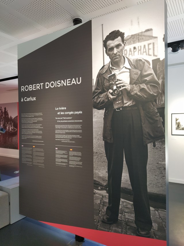
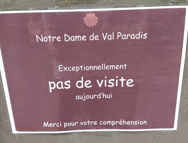
All of which brings me to that Doisneau exhibition in Bram that we hoped to visit on the way home from the aborted birthday trip to Provence. It is still on, extended until the 13th September but I was worried we might not be able to travel that far by the start of next month.

So I suggested, firmly, that we should make a date to go. So we did. And so we went.
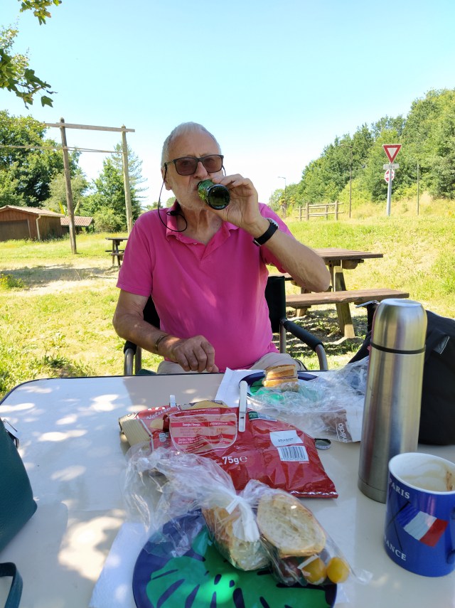
There is limited opening on only three days each week so a Wednesday afternoon it had to be. The journey takes about three hours and the gallery opens at 2pm. That meant we could get most of the way there and then stop for lunch. A picnic, of course.
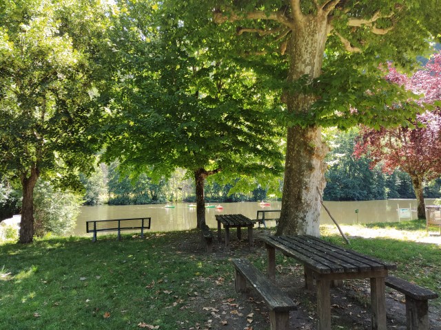
I googled earthed and found a quiet aire, ie no petrol station, no restaurant etc but with lots of shade. It was strange to be on an autoroute again, the last time had been in January, taking the family down to Toulouse airport after our Christmas together.
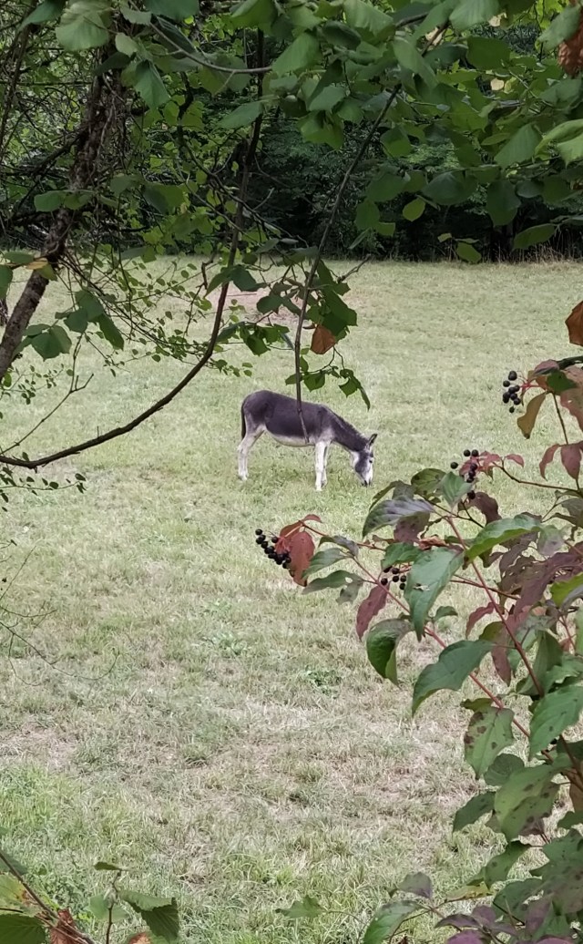
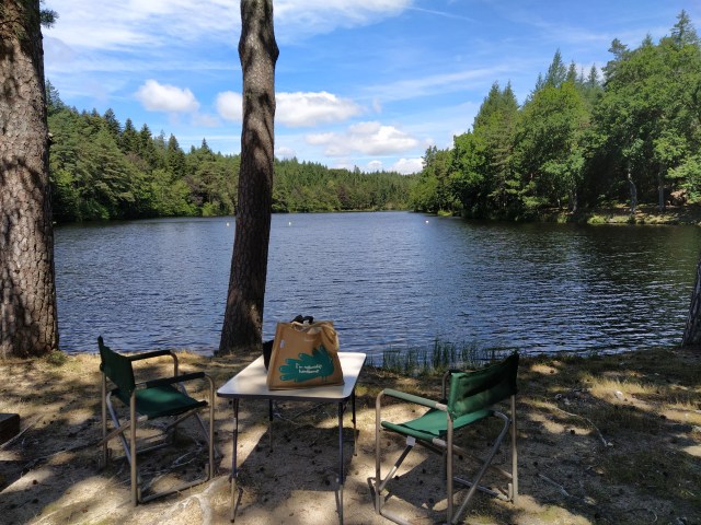
The aire was busy with groups picnicking at all the available tables. After some reluctant harrumphing from ‘I’m only the chauffeur’ our table and chairs were set up and luncheon was served! The scene under the trees reminded me of the ‘island of la Grande Jatte’. No river but children and dogs moving around under the dappled shade giving an odd pointillism effect to the scene.
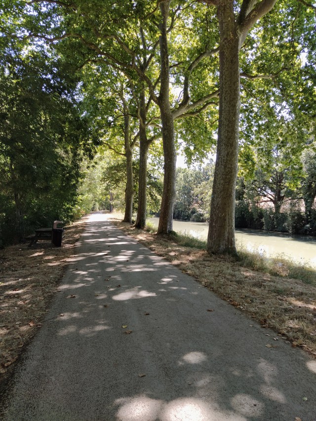
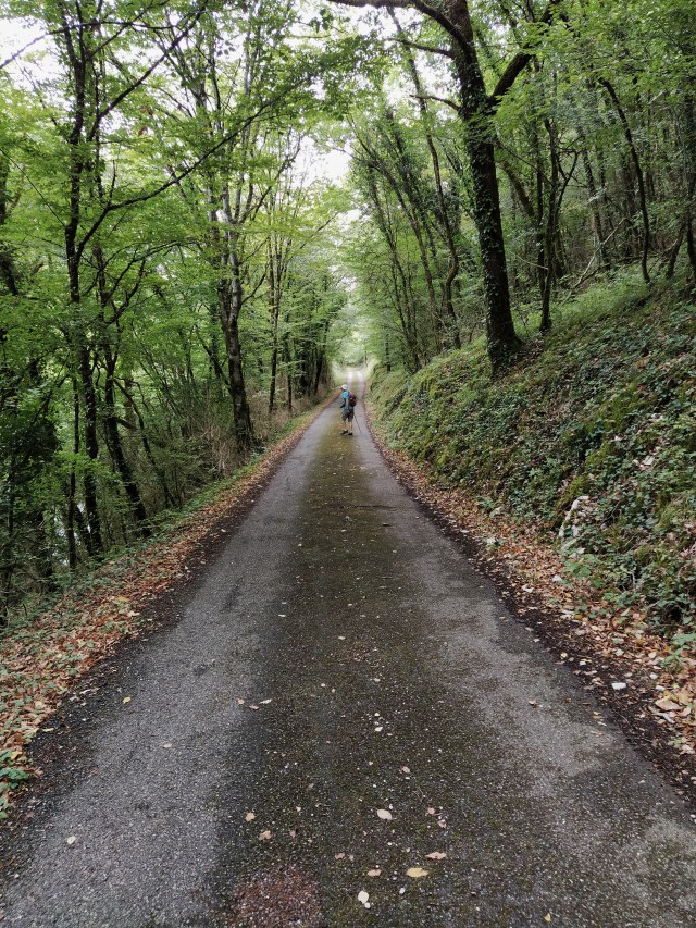
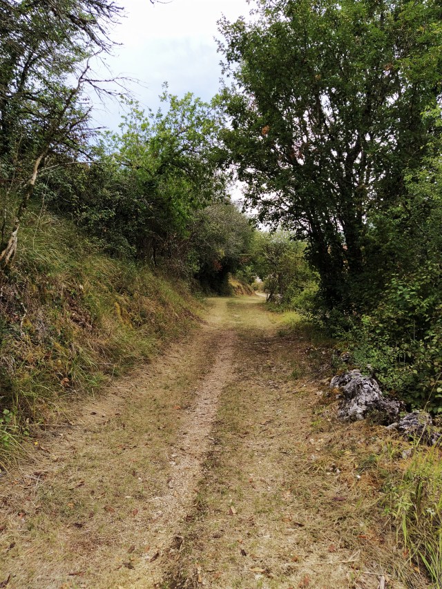
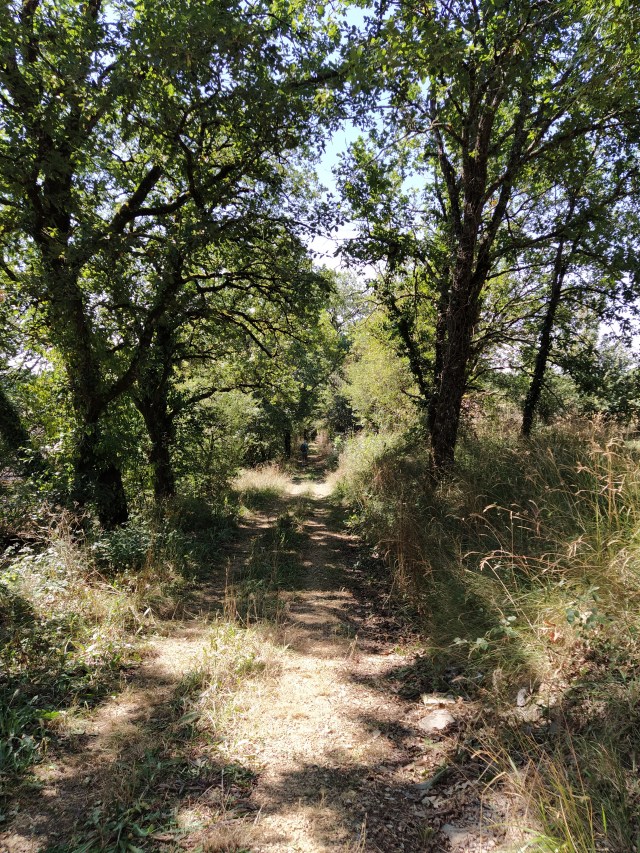
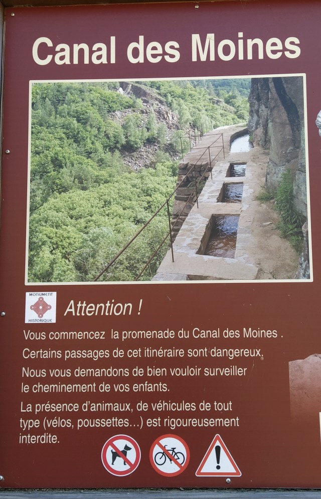
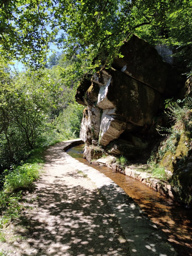
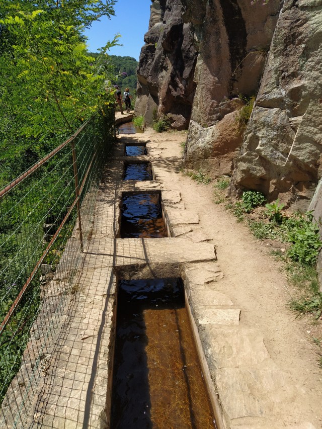
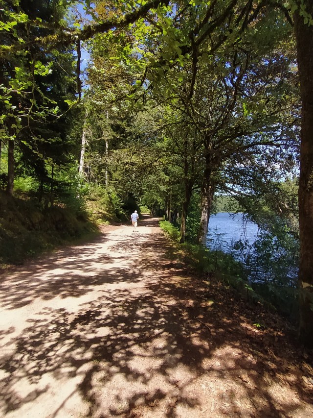
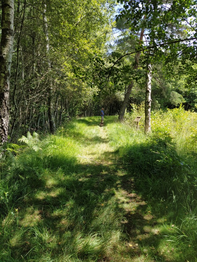
We noticed cyclists passing behind a wire fence at the top of the bank across the road and after finishing my lunch I went up to explore. I had noticed some steps leading up to the fence and found a gate which opened onto the canal side.

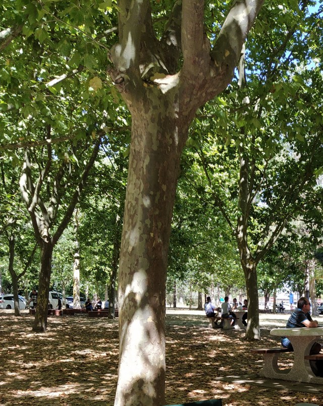
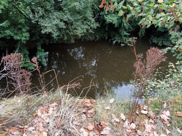
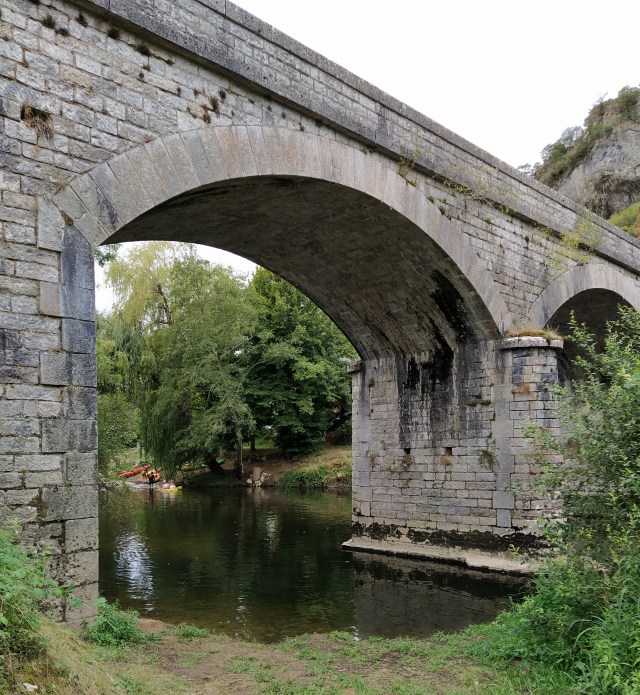
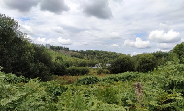
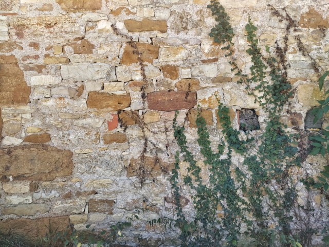
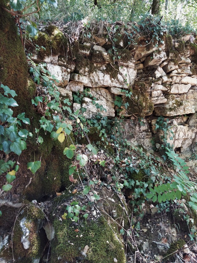
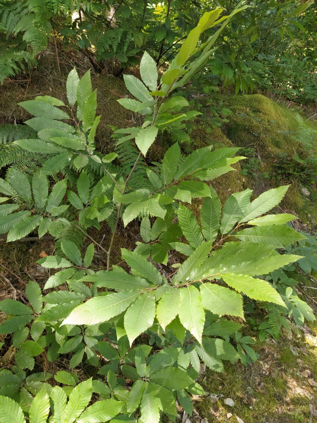
I was delighted. This section of the autoroute after Toulouse plays cat and mouse with the Canal du Midi, a Unesco world heritage site and one of our favourite places. We have walked bits of it, both ways, cycled a bit of it, one way, and camped next to it at least four times. Our last stay was very sad as the full impact of the fatal disease of the plane trees had meant the destruction of the landscape as we had experienced it some years before.
Before – near Capestang

After – near Capestang

The only solution is the uprooting of the plane trees and replacing with another variety resistant to the fungi that is slowly destroying them. By the aire the trees were still in situ but for how long?
According to a nearby noticeboard there was another motorway aire further on with access to the canal path. Comfort stop for all those cyclists?
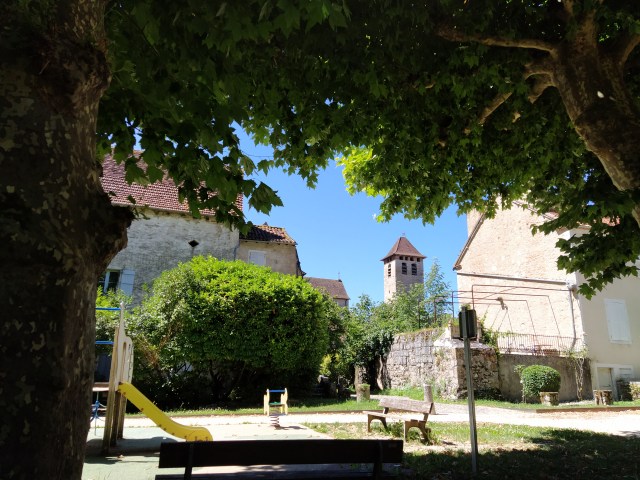
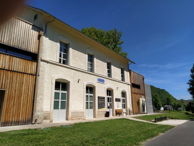
Refreshed and delighted with my canal discovery we set off again for Bram. The plan was to arrive bang on opening time as there was a limit to the number of visitors at any one time. We needn’t have worried. There was only one other person sheltering from the sun under a tree as we all waited for the door to open. Gel, masks and arrows on the floor with detailed instructions from the ticket lady as to how to proceed.

We have visited the les essarts gallery before. It is run by the municipality and has a reasonable admission price. The space is cool and well laid out. Having the place almost to ourselves was a bonus.
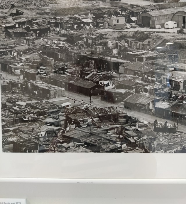
In the first room I was amazed to discover a photo of a shantytown in Paris taken in 1972 in the area where the beautiful Stade de France now proudly stands. This was a different side to Doisneau, until now the photographer of cheeky schoolboys, holiday snaps and lovers in Paris. This was Doisneau as social commentator.

As we took the obligatory lift to the lower level I took my own social comment shot of our difficult times.

The rest of the exhibition continued in a similar vein. Migrant workers, poverty stricken families, work wearied people posing proudly in their cluttered homes. With no catalogue to refer to (sign of our times) there was no way of telling if these were Doisneau’s work commissions or private interest photographs.
Coming to the end of the exhibition we let ourselves out, as directed, by a side door. No beguiling shop to pass through, no postcards or books to tempt you. The new normal which doesn’t seem normal at all
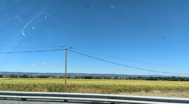
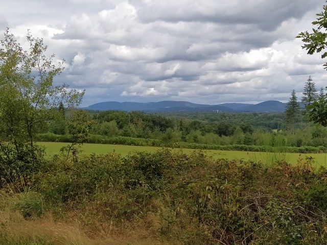
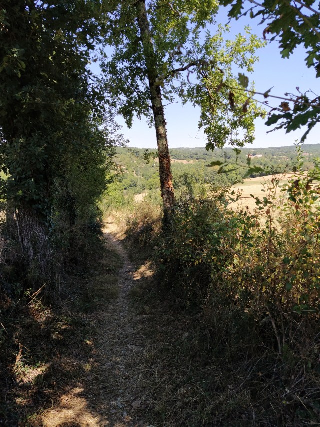
So now it was the return journey through the fields of sunflowers, which only seem to be cultivated south of Toulouse, and a ‘gouter’ stop just south of Cahors to finish our leftover sandwiches.

And home in time for dinner. I wonder when we will get to travel as far again?


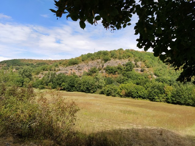

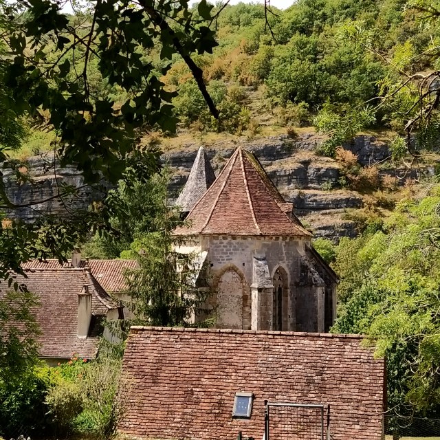
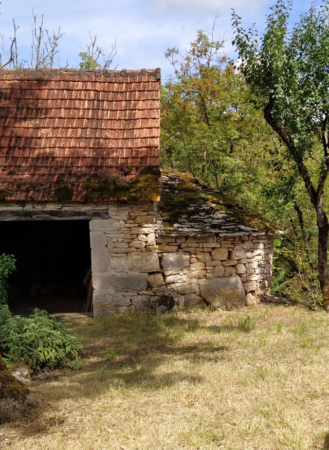
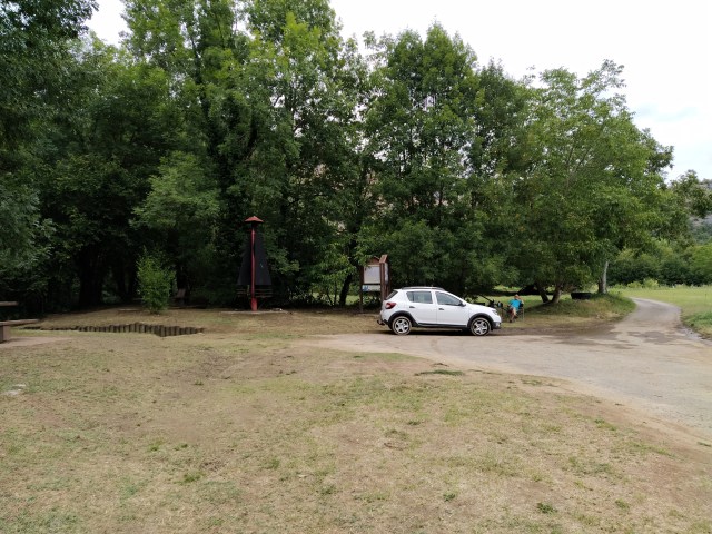
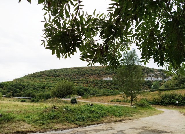

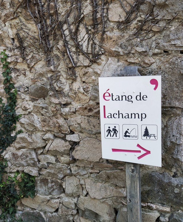

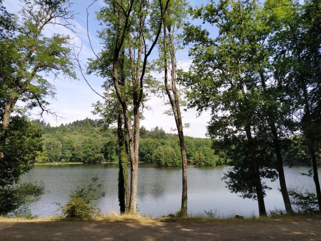
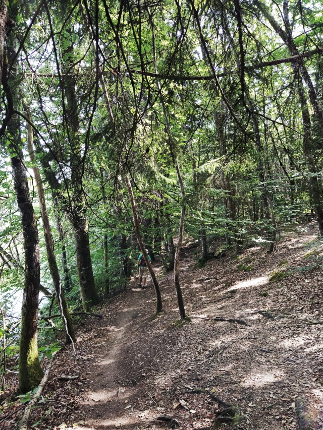


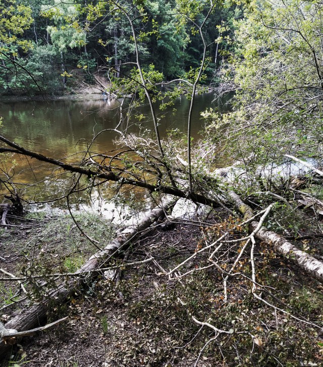
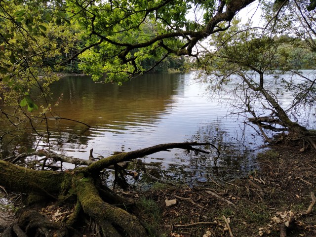
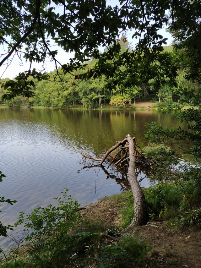

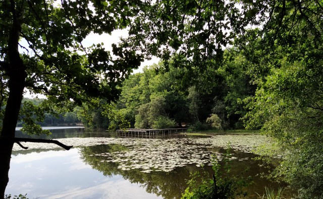
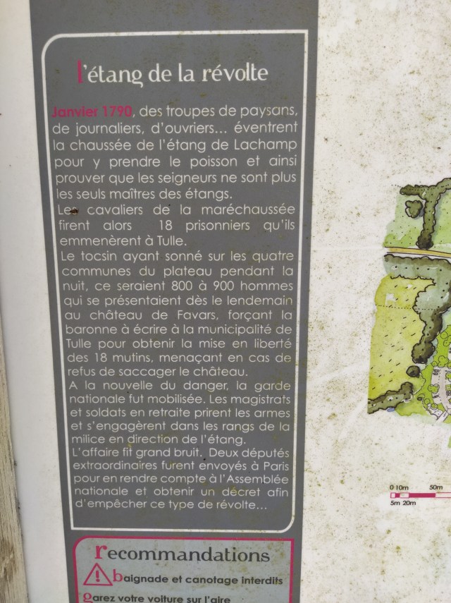
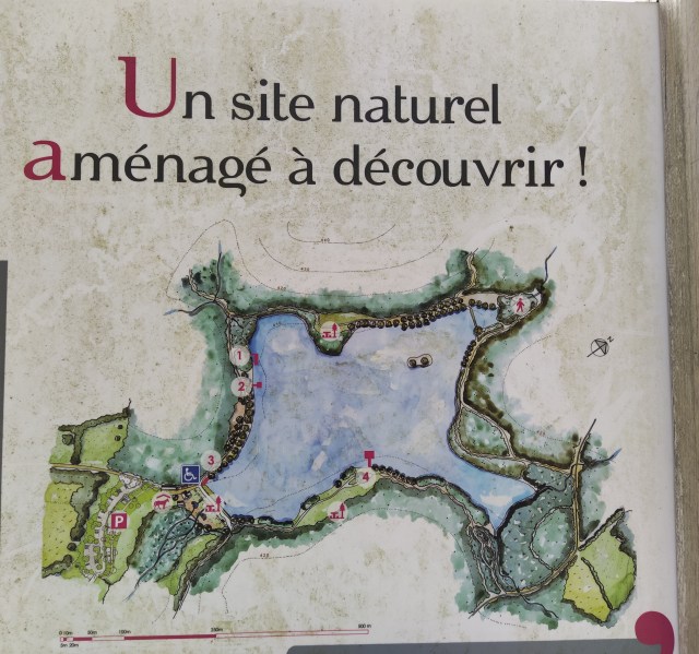


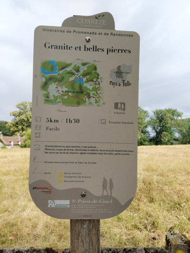

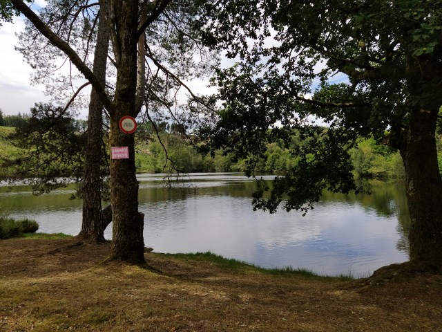


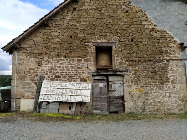


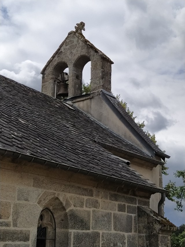
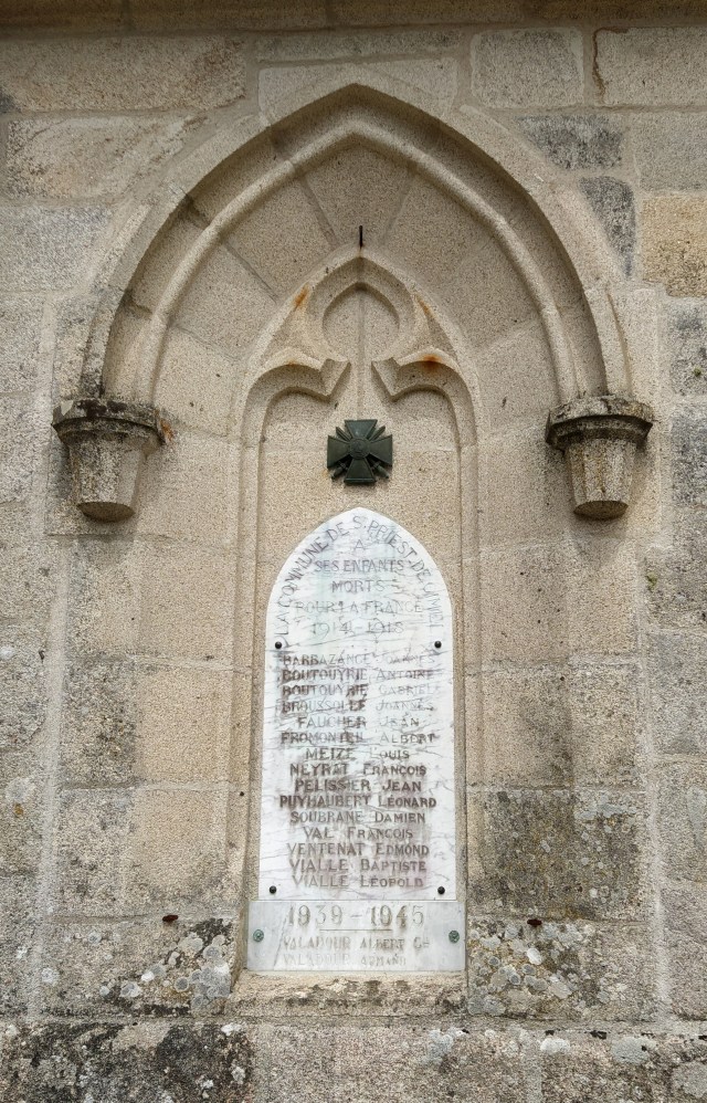
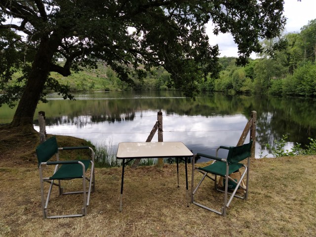

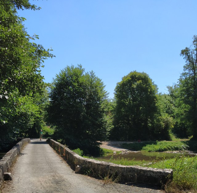
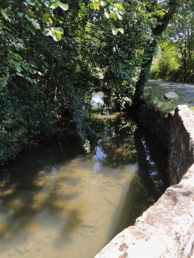
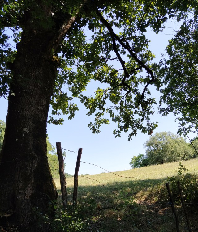
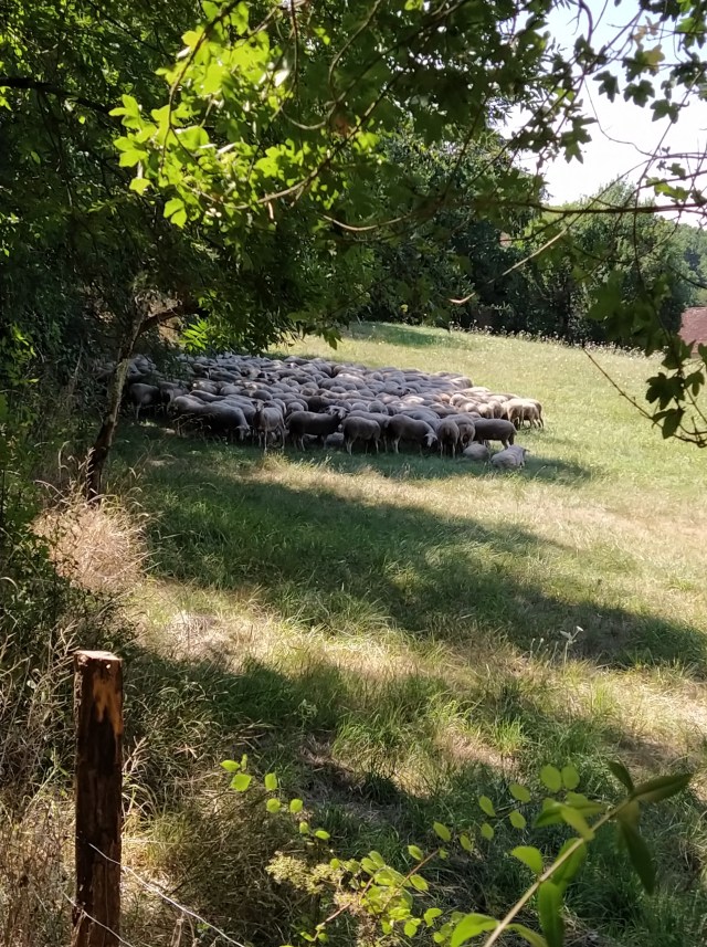
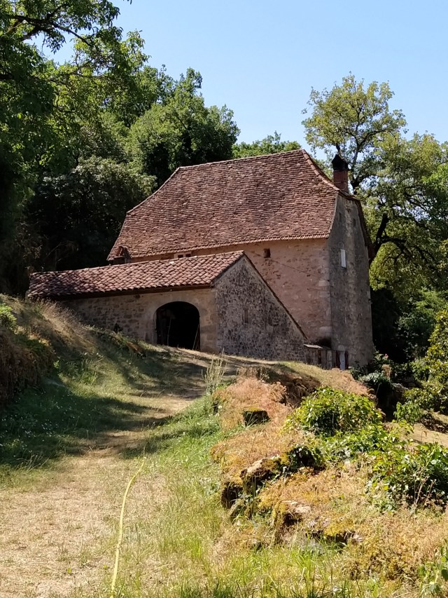
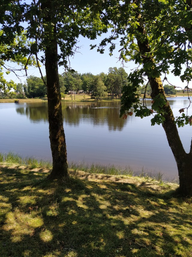
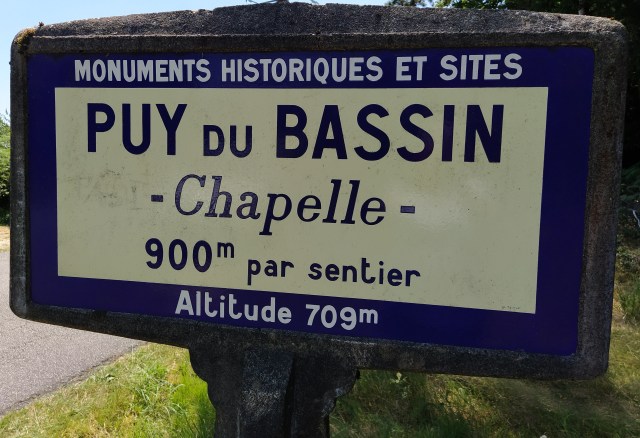

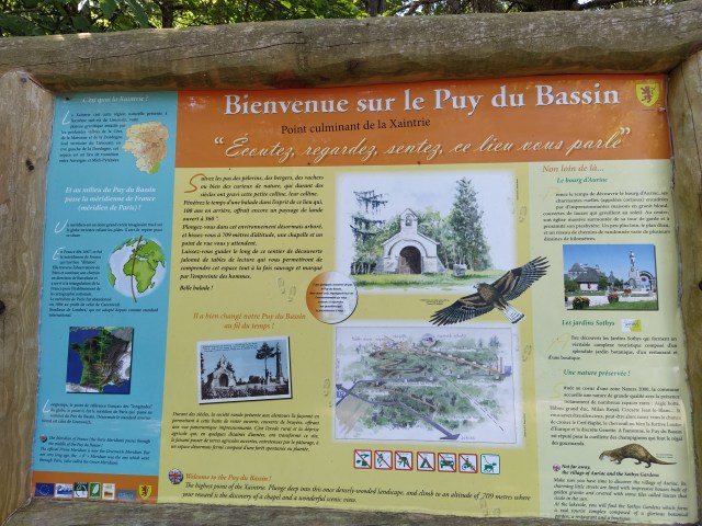
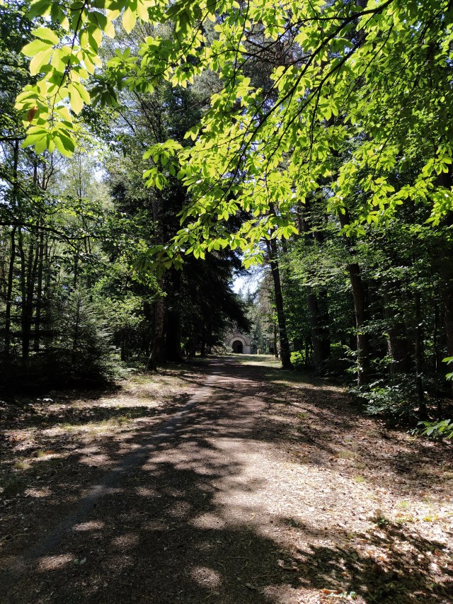
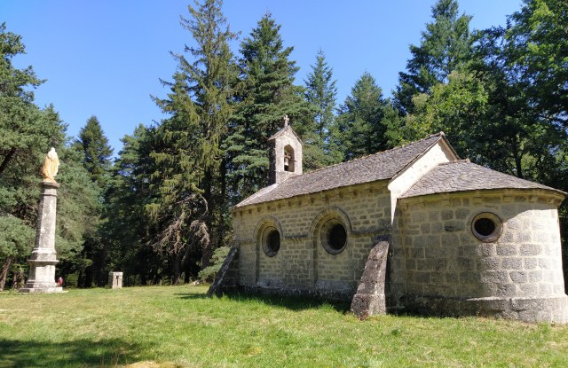


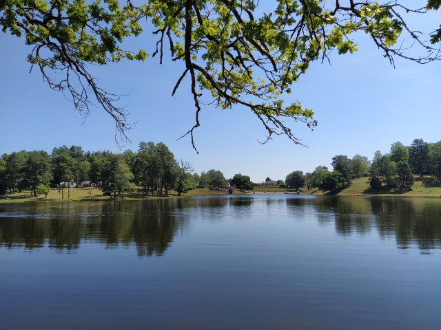
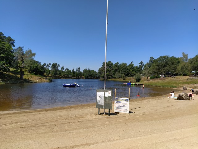
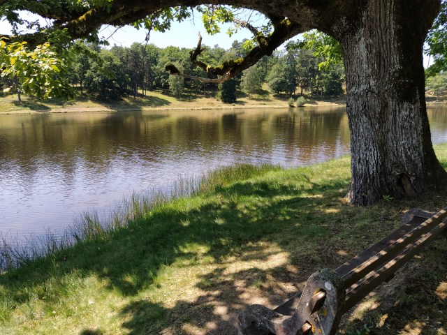
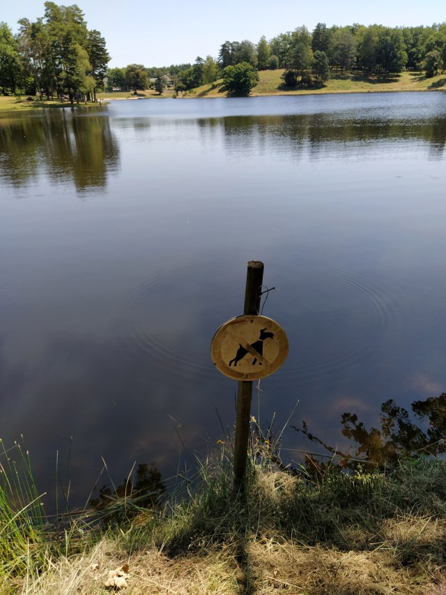
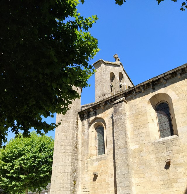

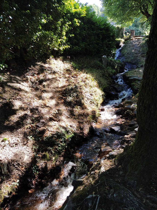

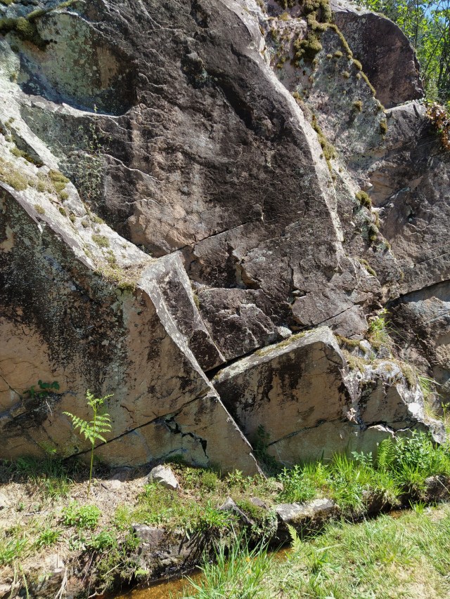
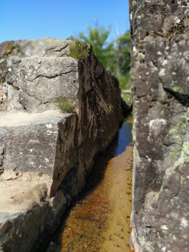
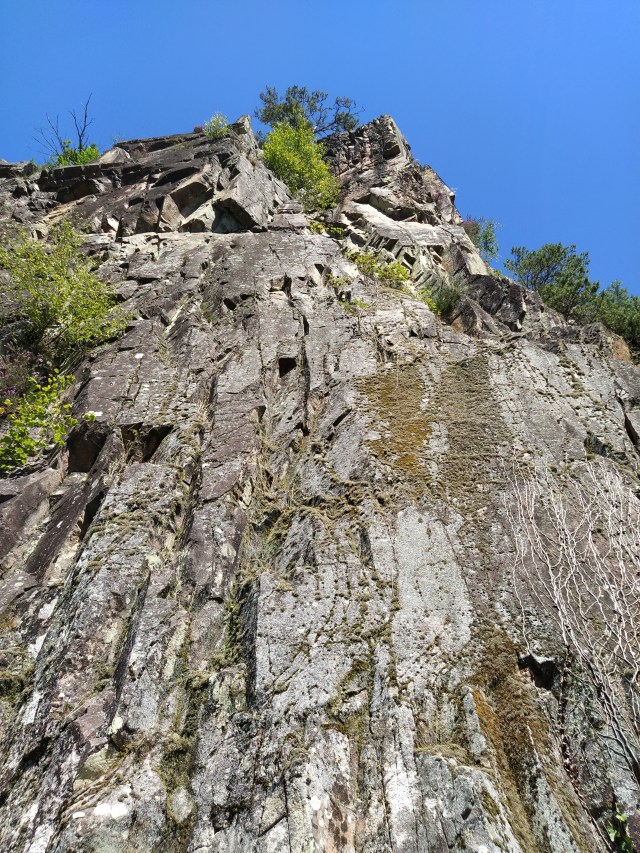
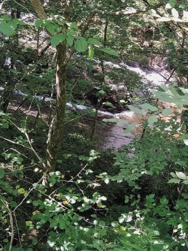

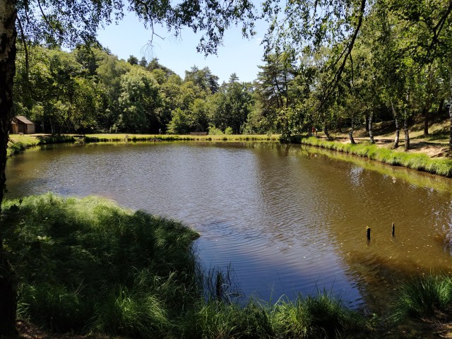
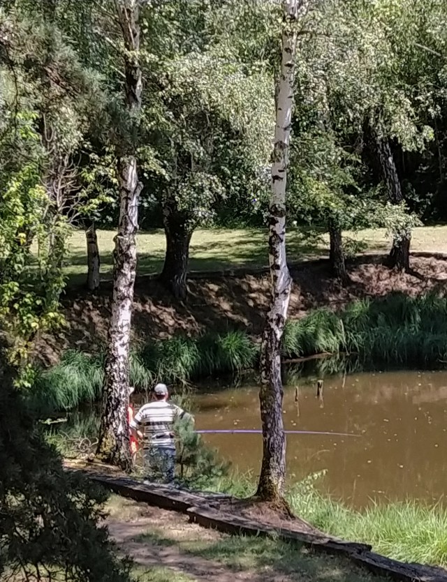

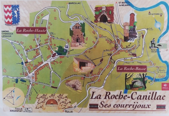


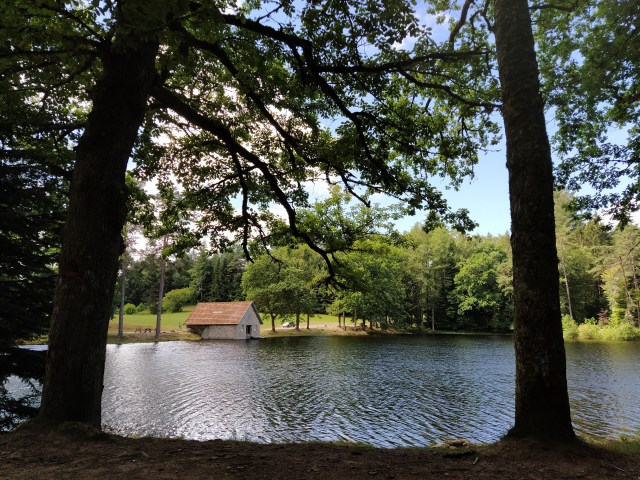
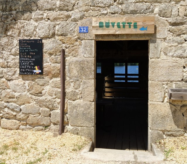
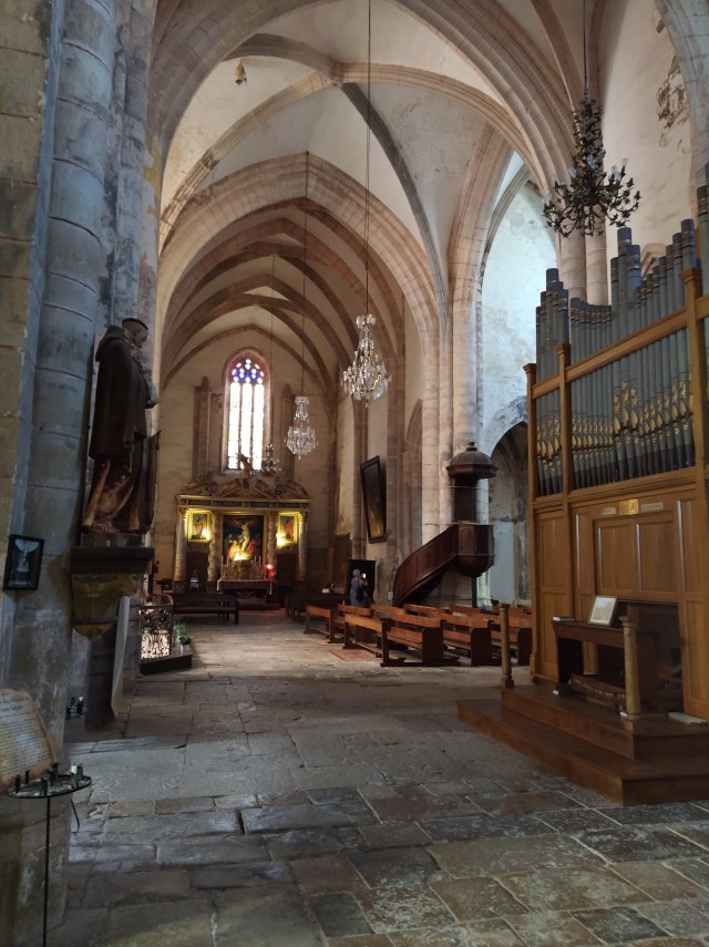
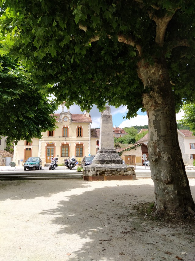
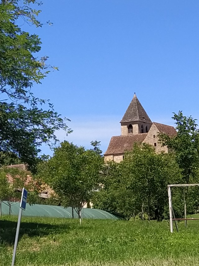
 We were soon back at our coffee stop and ready to start for home. Back in the car a decision to return via Saint Fortunade was made as the roads were straighter. A peaceful place to visit again but I think I’ll pass on the swimming!