Sunday was a bit chilly first thing and there was quite a bit of cloud around. Despite that, we sorted out a picnic lunch and debated whether to walk or not. Deciding not, it still seemed a good idea to drive around and get a feel of the area. In my researching I had identified four towns/villages with a two or three nearby walks, more than enough for a six day holiday!
Checking the map I could see we could do a circular drive taking them all in. So we did. First stop was Larodde, a village on top of a hill a few kilometres from the camp site.
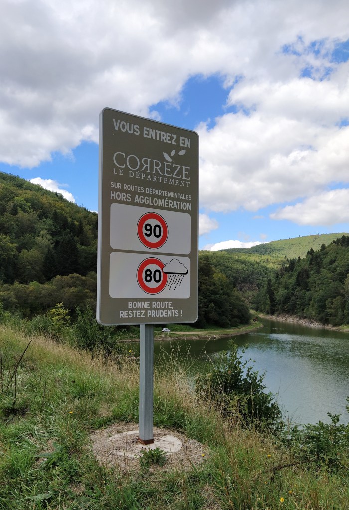
From there we took the twisty road south aiming for the village furthest away, Cros. The scenery was stunning and we saw several signs for the ‘retenue’ du Bort. More of that later!
Cros lies on the D29 as do Bagnols and Tauves which made up my four ‘points de depart’. Tauves looked pretty and has a Thursday market advertised at the campsite so that’s a plan for Thursday morning, at least. Bagnols looked busy with people queuing outside an epicerie as we slowed down to check a signpost. I had noticed the D29 led to La Tour d’Auvergne, a place we had visited during our first raquette holiday at La Bourboule, a dreary town as I remembered it but it was a very wet February.
So we drove on to La Tour d’Auvergne and noticed a plan d’eau for the first time. Plus several mock-ups of bicycles on the edge of the main road.
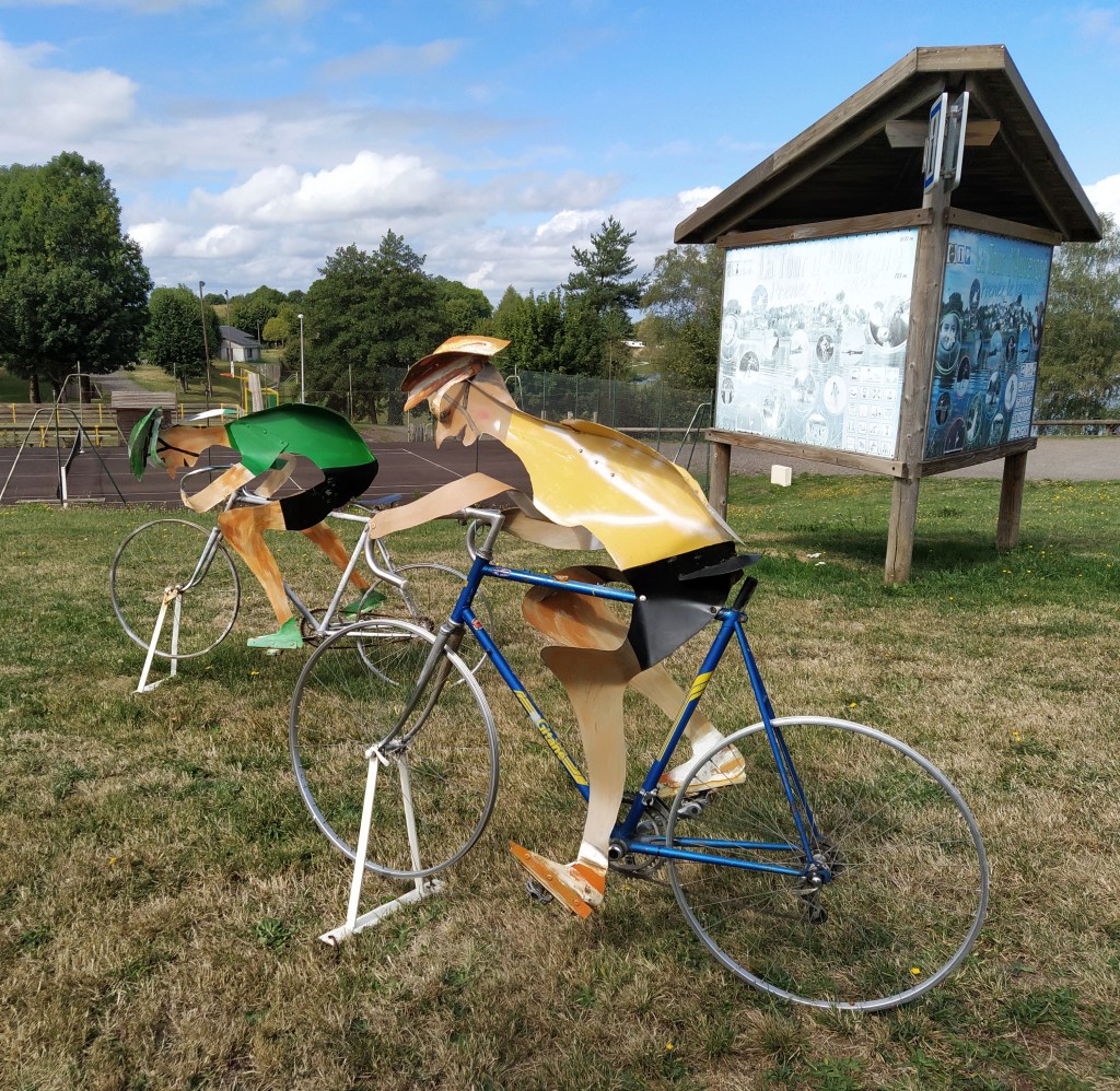
Daylight dawned, the Tour de France is due through here on Friday. The stage that the cycling son had hoped to catch the beginning of at Puy Mary. Later, I discovered that the tour will be driving the same bit of the D29 that we had driven. A chance to see the peleton whizz by?
There were already a sprinkling of camper vans parked up. Waiting for le Tour, Lou summised. Driving back to Tauves we tried to find the starting point of one of my walks. Unfortunately, I had my north and south muddled and we drove a long way in the wrong direction. Tant pis, we studied the map and decided that, rather than go back and eat our picnic at the campsite,we’d follow the ‘retenue de Bort’ sign and hope we’d find a pleasant vantage point above the water. Sadly it was not to be. We followed the signs, through a tiny village called Labessette and down a road with a no through road sign.
Down and down, twist and turn.. and then disappointment. The road ended just above the water but under gloomy trees with a no entry sign to a grassy patch with cars, caravans and boating trailers. With hardly any room to turn, let alone picnic, we drove all the way back up. Imagine driving down there in a camper van we exclaimed. No sign to tell you not to and still the brown signs that denote a place of interest.
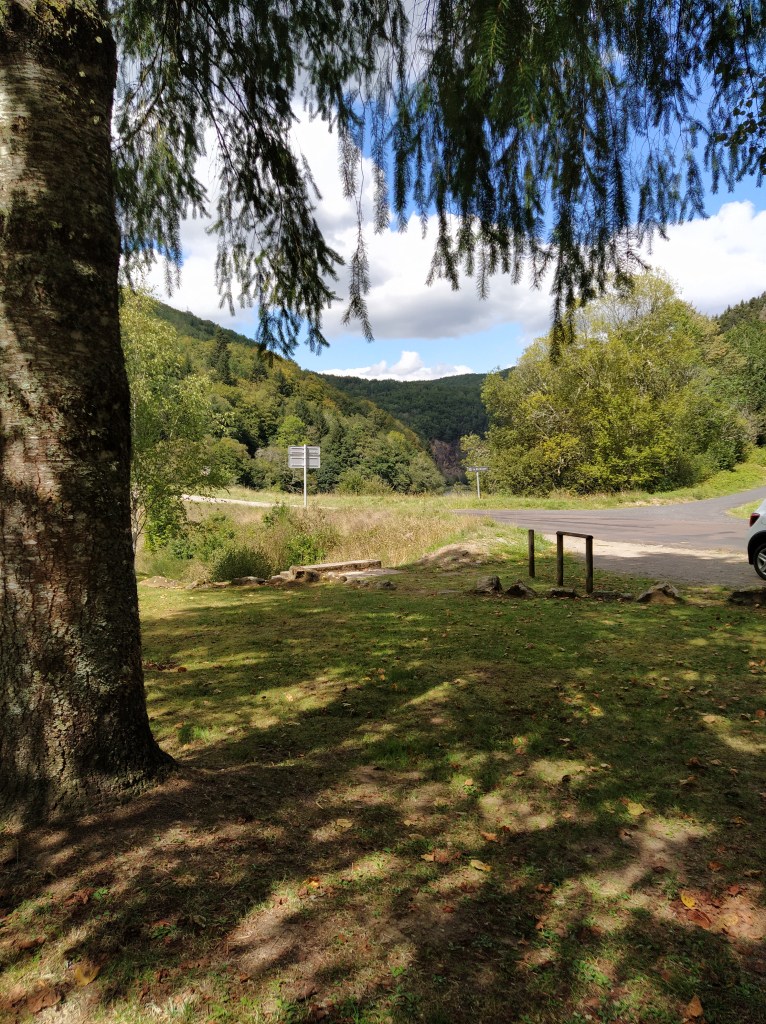
By now we were feeling a bit peckish so we backtracked past Larodde, past the campsite and drove down to Pont Dieu which we’d crossed on our way here the day before and had noticed had a couple of picnic tables under the trees overlooking the water. The space was empty so we parked up and set out our lunch, just a few metres inside Puy de Dome and gazing at the Correze!

I would like to do this one day. -when Im free again from deadlines. xLove JO
LikeLiked by 1 person