
Despite enjoying, or maybe because he enjoyed it, at the end of last week’s walk ‘i’m only the chauffeur’ announced we ought to go for longer ones. Longer but not hillier, I thought to myself. So back to the websites.
We’d already decided to go away for a short holiday, only a couple of hours away and in a department that is still listed as green and, hopefully, will stay that way. I’ve found fourteen walks fairly near to our campsite which should give us plenty of choice. To save on paper and time I decided to stay close to home for our next picnic jaunt.
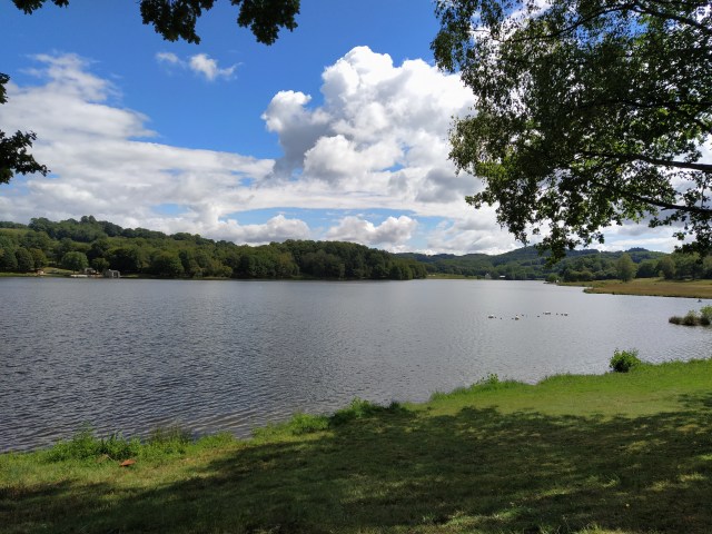
In the hills above St Cere is the lac du Tolerme. A reservoir, I have since discovered, created from marshy meadows in 1990 serving the neighbouring communes. It has a beach and a campsite, a restaurant and a cafe and is popular with dog walkers and the fishing community.
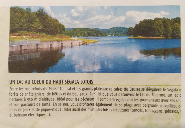
Himself has walked around it some years ago but I have only stopped by it a couple of times en route to somewhere else. I have never found it particularly appealing but can’t say why. There is always plenty about it in the local paper during the summer when, I imagine, it is popular with holiday makers in the area.

But, it is close to home and I found a 9km circuit helpfully called called ‘le circuit du lac de tolerme’. It starts in the nearby village of Senaillac Latronquiere, has a little wander around the bourg (village centre) and then heads towards and around the lake before heading into the hills and looping back to the starting point.
The drive up there is beautiful, especially as you climb out of our valley up towards Estal. The views are across the valleys of the Cere and the Dordogne and as you get higher, the outer hills of the massif Centrale and the limestone causses of Gramat and Martel reveal themselves. What wasn’t so beautiful was the sky! Thick cloud that the newspaper meteo described as menacing which was meant to give way to sunny spells by midday.
We did the wander around the bourg which wasn’t particularly inspiring but clocked up the distance…..
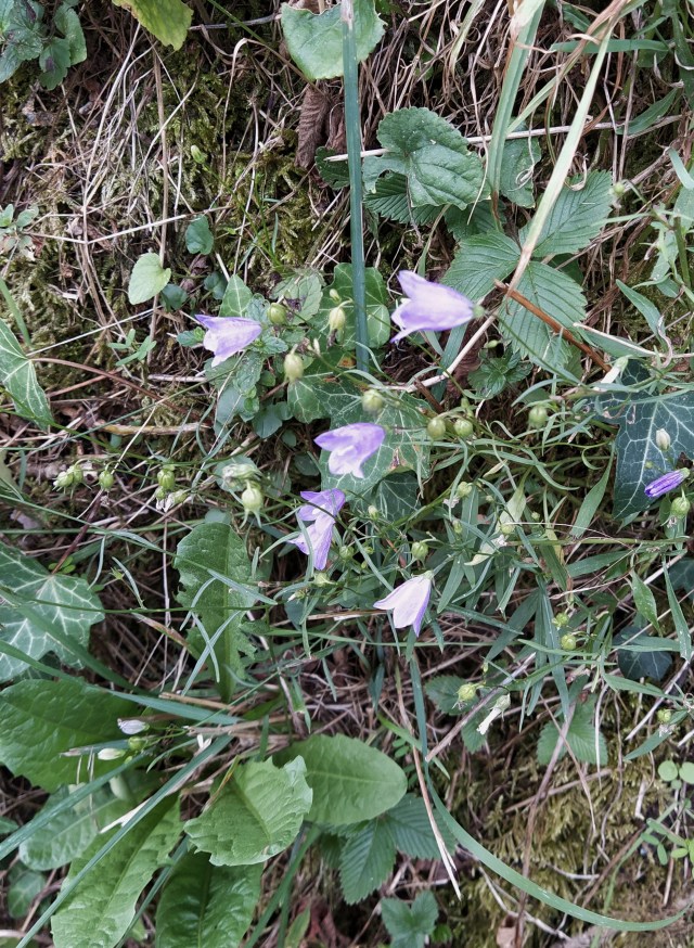
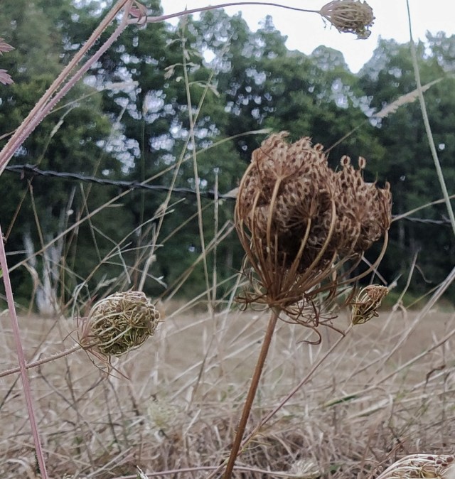
….there were flowers in the verges and two curious donkeys.

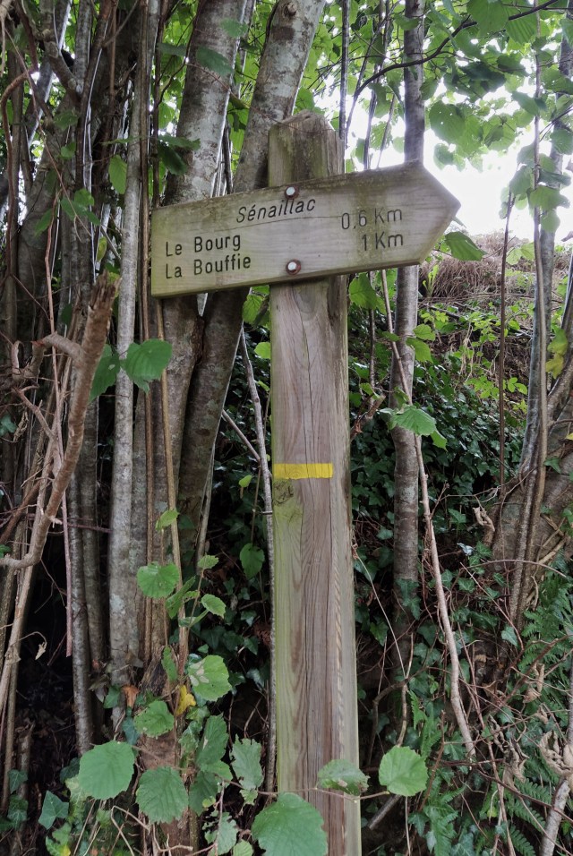
After pushing our way through thick undergrowth which looked like someone’s front garden but had the obligatory yellow balise, we came back to the main road just down from the car park. Fifty metres further on was the turn for the campsite by the lake, our starting point for the walk around it.

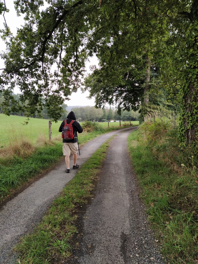
(A photo from the end of the walk hence Lou walking towards the village!)
We were on a narrow road walking upwards but could see one end of the lake across the fields to out left.
‘Look at the colour of that sky’, pointed out Lou. ‘I’d rather not’, I replied. Sure enough, by the time we turned down the lane to the campsite it was raining. Stopping under an opportune and sheltering oak tree we broke out the raincoats.
At this point I was glad that this particular walk had three bailout points that I had noted previously…just in case. At the campsite there was no sign of any yellow balise so we walked around the perimeter hoping to be unobtrusive. Having walked three sides of a square we finally found a gate which opened onto the service road alongside the lake.

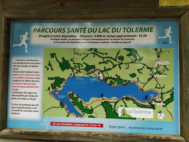
Noting another walk, not a boucle or circuit, we continued down to the lakeside. A large noticeboard informed us of a ‘parcours sante’, a walk or run punctuated with various wooden set ups that require you to do energetic exercises before continuing. We wouldn’t be doing that! It took a few minutes to convince himself that we were walking the lake clockwise whereas previously he had walked anticlockwise. I explained we needed to in order to find the exit point up into the hills for the rest of the circuit.

The rain had stopped and after a while the sun began to break through as promised and we could shed the raincoats.

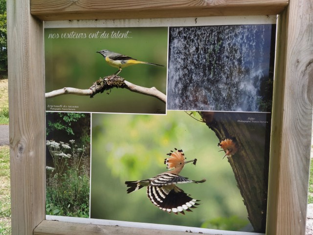
Apart from one jogger and a few fishermen we had the path to ourselves. The whole place is very well maintained with the equipment “sante’ appearing at regular intervals plus information boards detailing the fauna we might see….we didn’t, although there was a buzzard or kite continuously calling although I didn’t manage to spot it. Further round the shore we began to notice small brown butterflies and, to my delight, some tiny blue ones.
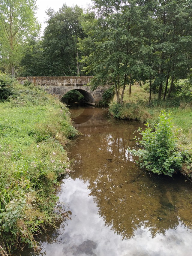
Rounding the end of the lake we walked along the edge of a marshy area and across the Tolerme stream that feeds into the lake and empties out at the far end to flow towards the Bave, the river that runs through St Cere and on into the Dordogne.
I began to realise the lake had more inlets that I had imagined. Later, I noticed the circumference was recorded on that ‘sante’ notice board and we would have walked five kilometres on this bit alone. The longer walk had been achieved…just, even if we didn’t head for the hills.
…looking back the way we had walked….
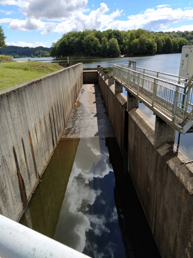
Eventually we came to the dam at the westerly end. The path runs along the top of it and it is not an attractive place. But I was interested in the arrangement for dealing with flood waters, however ugly it was!
We could see the beach area now and so began the discussion concerning how to continue the circuit. Head for the hills as directed or carry on round until we reached our starting point by the campsite and so back to the ‘point de depart’ by the mairie? A joint preference for the latter. Well, it might rain again!
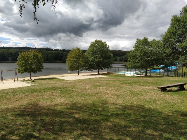
The beach looks fun but was deserted. The day before the French ‘rentree’ probably meant parents and children were busy on school preparations.
As we walked past the cafe (closed) and on to the campsite gate we noted several picnic tables under the trees. A good place for lunch but we’d driving back!

Thoughts of coffee (me) and beer (himself) spurred us on.
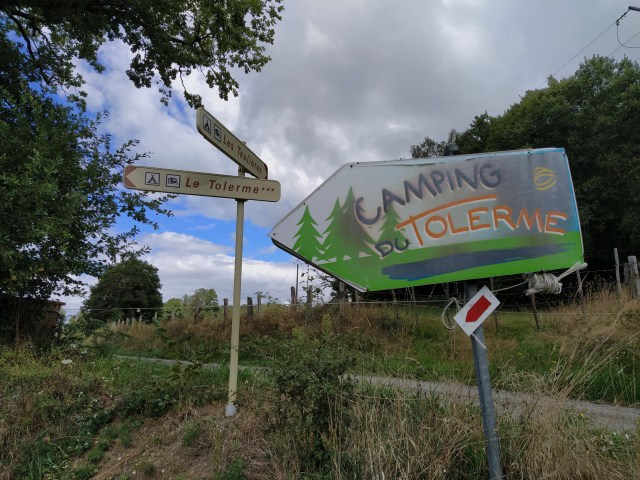
The Tolerme campsites don’t lack for signposts!
Back at the mairie car park I noticed there was a very faded information board about the circuit we had just done. It was the first indication that the fiche in my hand and the yellow balise we had been following were related. Maybe we’ll go back and walk the whole thing on a sunnier day? But maybe not, I still don’t find it very appealing. Desole, lac de Tolerme.
